Background
Since the new master plan of Beijing City proposed to build a pedestrian and bicycle-friendly city, all relevant departments in Beijing have made great efforts to develop active transportation in Beijing. The Beijing Municipal Planning and Natural Resources Commission released its “Active Transportation System for Beijing (2020-2035)” in 2020, proposing to build a continuous, safe, accessible, comfortable, and age-appropriate network.
For one of the city’s historic districts, this plan is currently being developed. It has the dual objective of contributing to the reduction of CO2 emissions, and building a pedestrian and cyclist friendly city.
Measuring pedestrian/bicycle traffic in Beijing
Since 2011, the number of pedestrian and bicycle trips in Beijing has been slowly increasing, especially in connection with the development of electric bikes and the meteoric growth of shared bikes. Despite this, the city lacks data on the actual number of bicycle trips on the road, making it difficult to plan pro-active transportation policies.
There are a variety of calculation methods for car traffic in China, such as the widely used “PCU (standard car equivalent)”, which converts the actual traffic volume of various motorized and non-motorized vehicles into a standard traffic equivalent (using surveillance cameras for this). The traffic volume is used by the Beijing Municipal Transport Commission to calculate the “Road Traffic Congestion Index”.

Photo 1 – Traffic Congestion Index
For pedestrians and bicycles, traffic measurements have been absent or partial for a long time, mainly realized through 3 methods:
Big data from bike-share operators (as shown in Photo 2 below). One can clearly see in the graph the most traveled routes. However, due to limited data sources, this method can only obtain shared bike data from a single operator and may lack completeness.

Photo 2 - Data from bike-sharing platforms
- Data from third-party platforms (App), including Xingzhe, Blackbird and other bike apps, which in turn are based on the actual usage of users of each platform. They provide a heat map for bicycle traffic (as shown in Photo 3). However, the data source for this method is also from a single company at a time, with a bias in the use of these apps for leisure mainly.

- The empirical judgment method, based on years of observations of bicycle flow, predicts that the flow of high service facilities such as highways and major roads is higher than that of secondary roads. But this method also lacks objectivity.
All three methods have the same problem: what is the actual number of bicycles on the road? How do we know what the situation is for bicycle travel after years of improvements in bicycle infrastructure?
The question also arises for pedestrians: what is the pedestrian flow and how attractive is the new infrastructure to people?
Implementing automatic data collection for walking and cycling in Beijing
To answer these questions and analyze more comprehensive data, Eco-Counter worked with the Beijing Institute of Urban Planning and Design to participate in the city’s active transportation-related projects.
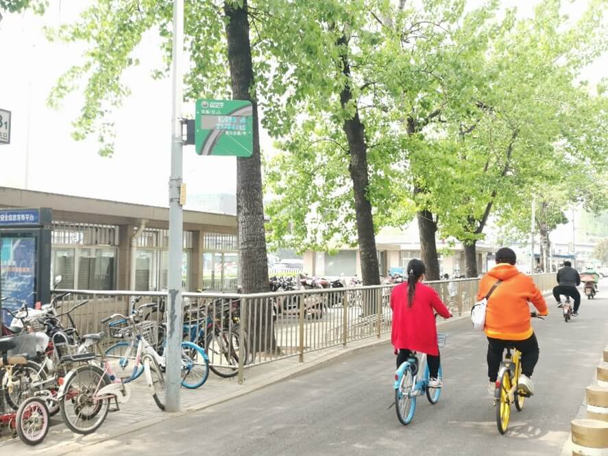
 Temporary counting for planning purposes in the Yizhuang district of Beijing
The first project is based on our MULTI Mobile counter, which allows to collect pedestrian/bicycle data while being autonomous and easy to move. This solution is very suitable for temporary data collection of 1-6 weeks duration, and can be used to complement other data sources such as manual surveys, and data via bike sharing.
While previous data collection methods had to be conducted over a limited period of time, with difficulties in organizing and generating post-collection analyses, the use of the MULTI Mobile allowed for uninterrupted 24/7 collection, while automatically transmitting data to the Eco-Visio analysis software to immediately generate detailed reports on ridership.
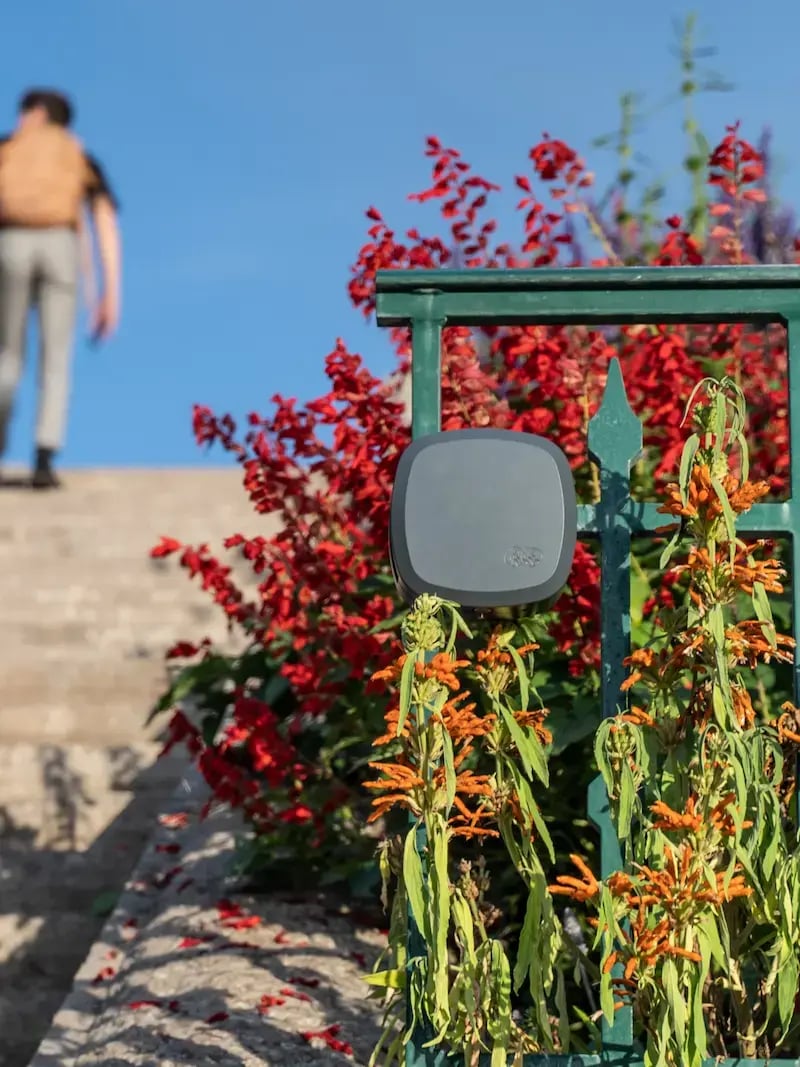
Wangjing district
In addition to this temporary counter, a permanent sensor has been installed in Beijing’s Wangjing district to monitor and analyze long-term cycling trends. The flow data collected is used to analyze the impact of the Covid epidemic on travel. As of now, we see a sharp increase in bicycle travel between 2020 and 2021.


Example of data collected and analyzed in Eco-Visio
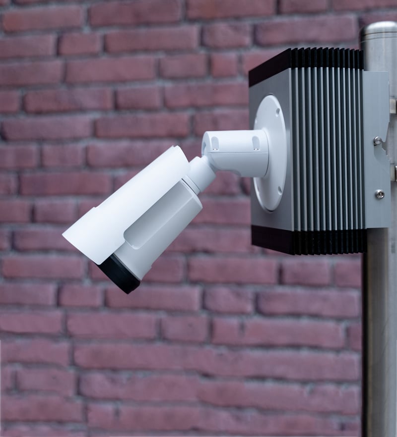
In addition, as part of the “13th Five-Year Plan” active transportation improvement project in Beijing, the city has installed 8 bicycle counters in the Yuquan Road and Yongding Road areas, and installed its first Eco-DISPLAY Compact bicycle passage display there.
The project started in April 2021, and the display shows that by the end of October 2021, the recorded traffic in the northeast of Yuquan Road subway station has already exceeded 1 million passages, with an average daily traffic of 5,000 passages. The loops buried in the ground (Figure 9) count bicycles while ignoring passing cars.

Photo 9: Beijing’s permanent bike counters and Eco-DISPLAY Compact
With the data provided by the counters, managers will be able to understand how active transportation development policies, weather, and infrastructure changes can impact bicycle and pedestrian traffic.


.webp)
_-_2022-01-16_-_7.webp)