At a Glance
-
-
Austin's count program started in the 2010s. Today, their fleet consists of 30 counters.
- They began their count program to help with the challenges of rapid population growth and urbanization.
-
Counters helped the city retime a pedestrian hybrid beacon on a popular trail, improving safety and flow.
- Count data showed that 45% more cyclists and 21% more pedestrians used a multiuse pathway to get to a music festival in 2025 compared to 2024.
- A counter showed that cyclists increased from 2024 to 2025 after a Vision Zero Project transformed a major vehicular road.
-
Background on Austin, Texas
The City of Austin is the 11th most populous city in the United States with a population of over 990,000. Known for its music, college football, gorgeous waterways, and quirkiness (the city's slogan is "Keep Austin Weird"), they are also champions of active transportation.
Their count program with Eco-Counter started over a decade ago. Today, their fleet of counters is 30-strong, with new additions on the way. So, how does Austin use their count data?
 The Ann and Roy Butler Hike-and-Bike Trail and boardwalk at Lady Bird Lake, Austin. Credit: trongnguyen
Why Did Austin Start a Count Program?
From 2010 to 2022, the Austin Metro Area, where Austin is the major city, was the fastest-growing region in the country. Today, they are still in the the top five at fourth place. Their urban planning focuses on the growing pains of rapid population growth and urbanization: traffic, safety, connectivity, and accessibility.
The City of Austin started their count program back in the 2010s to learn about their city's active transportation network, follow long-term trends, and start making data-informed infrastructure decisions.
How did Austin Choose Counting Locations?
Austin developed a data-driven site selection process using ArcGIS and a multi-criteria analysis. In general, they prioritized locations based on population density, proximity to urban trails, major crossings, and future infrastructure projects.
That said, they understood that it was better to start small and build their way up. They started with a handful of counters spread across trails, bike lanes, and their urban core. Over time, they saw value in counting on their urban trail network, which was well interwoven with their utilitarian facilities. Today, they have over 30 counters, with good coverage on their trails and a slowly increasing presence in neighborhoods farther from downtown Austin.
What Grants did Austin Use to Fund Their Count Program?
The funding sources they've used have varied over their many years of counting. Recently, Climate Pollution Reduction Grants from the U.S. Environmental Protection Agency have helped them expand their count program.
How the City of Austin Uses Count Data
Like many cities, Austin's long-term count data helps them improve planning, safety, and connectivity on their active transportation facilities. On trails, bridges, and bike lanes, counter data refines their decision-making and gives them a deeper understanding of how people are moving in their city.
Here are a few examples of how they've put their count data into action:
Improving the safety of a pedestrian and bike crossing
In partnership with The Trail Conservancy, Austin counts on and near the famous Ann and Roy Butler Trail that runs along Lady Bird Lake. This trail connects to Wishbone Bridge, a three-pronged pedestrian bridge that is the first of its kind in Austin.
 The Wishbone bridge under construction. Credit: Nathan Bernier / KUT News
With construction slated to finish in 2026, pedestrians and cyclists currently have to cross a multi-lane vehicle road at one point on the trail. To allow this, a pedestrian hybrid beacon was installed to direct traffic.
However, the Conservancy noticed something about Austin's count data near that particular crossing. They saw that at certain peak hours, count volumes were very high. In fact, they were so high that they concluded the beacon wasn't timed correctly to optimize the flow of people. Thus, the Conservancy reached out to Austin's team and together they reconfigured the beacon to increase crossing time and frequency at peak hours.
The result? People could cross the road more frequently. This improved the experience on the trail, decreased queuing, and most importantly, reduced unsafe crossings from people deciding not to wait for the light.
Measuring attendance at a free music festival
Every year, Austin hosts Blues on the Green, a music festival featuring local artists that draws in tens of thousands of people each year.
Hosted at Zilker Park, this venue can be accessed via the Roberta Crenshaw Pedestrian Walkway. Austin collects count data on this bridge, which helps estimate the relative volume of attendees from year to year.
 An aerial view of Blues on the Green at Zilker Park. Credit: Ryan Conine
Barton Springs Road is a another way for people to get to Zilker Park. Based on counts from the city's CITIX-AI counter, this multimodal facility had a spike in bike and pedestrian traffic on August 5th and 6th, the days of the festival in 2025. In total, over 4000 active mode users were counted during the two days.
 Eco-Visio screenshot of a spike in pedestrian and bike counts on Barton Springs Road in August 2025.
Why is this information useful? For starters, Blues on the Green is a free event. That means no ticket sales and no simple way to know how many people attend. Businesses ask Austin for their count data on this bridge to help justify having booths on the festival grounds to sell their various products. This benefits both the local economy and festival goers. In fact, Austin themselves attends as a vendor, using their count data to judge how many people they could potentially reach with their messaging about active mobility.
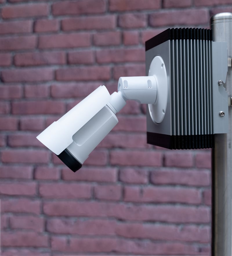
 A MULTI Nature pedestrian and bike counter on the Roberta Crenshaw Pedestrian Walkway.
Another benefit of this data: it shows if more people are choosing active modes compared to last year. In 2025 and 2024, their counters recorded thousands of pedestrians and cyclists on the days of the festival. Thanks to count data from last year, the city found that there were 45% more cyclists and 21% more pedestrians in 2025 compared to 2024. This could be a sign that the city is increasingly embracing active modes.
Justifying the need for bike lanes on vehicular roads
Barton Springs Road is one of the most popular streets in central Austin, connecting to a multitude of local restaurants and businesses. However, the road had a history of vehicle crashes. In late 2023, a Vision Zero project transformed the road from having two vehicle lanes and one painted bike lane in each direction to one vehicle lane and one protected bike lane in each direction.
 A snapshot of Barton Springs Road before the transformation. Credit: Austin Transportation and Public Works
This decision was met with skepticism. But according to data after the pilot was completed, the results spoke for themselves:
-
-
17% less crashes
-
Over 50% reduction in vehicles driving 10 or more miles above the speed limit
-
Similar overall average travel times
-
People that reported being comfortable on the road increased from 36% to 66%
-
Austin set up a CITIX-AI multimodal counter on Barton Springs Road in 2024 to help get a deeper look at the biking behavior on the road. They found that hundreds of bikes were counted each day, and that cyclists increased from 2024 to 2025. The counter acts as a validation tool to monitor the project's results. The city is looking forward to quantifying the increase in cyclists from year to year.
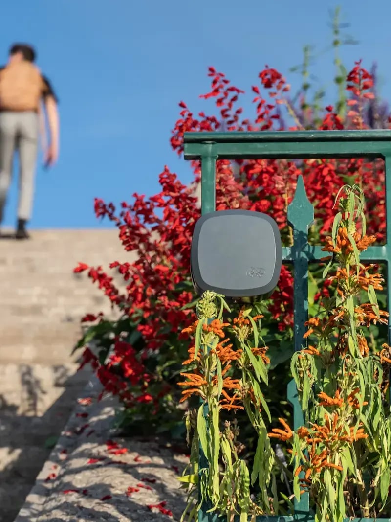
 The CITIX-AI at Barton Springs Road.
The combination of all this great data prompted a future road transformation project on Cameron Road. The 2027 project aims to transform a six-lane vehicle road into a four-lane vehicle road with two protected bike lanes. In preparation for this project, Austin installed counters to track bike volumes and speeds before and after the changes are made.
Other uses for their data
A final, more general way Austin uses their count data is to validate their Strava Metro data. Eco-Counter data provides ground truth and helps the city check the accuracy of the other data sources they use to understand their network.
Key Lessons for Your Count Program
“Real-time data...you can't get more accurate than that. You can go and get the modeled options, and they do a good job of the inference of what's happening. But they don't get you the actual, whereas an infrastructural piece like Eco-Counter gets you the actual.”— City of Austin
The City of Austin sets a great example for how to run a count program with great success. Their count program uses over 30 counters, but they highlight lessons that can help count programs of any size reach their full potential:
Start Small But Solid
When building a count program, don't worry about starting small. It's the best way to build up to a large, comprehensive fleet. To succeed, you need to establish a reliable base before scaling.
Choose the locations that will give you the most impactful, actionable data first. Use your first counters as a way to practice reading the data and presenting clear insights. Set up a dedicated team with specific responsibilities for each person, counter maintenance or reporting on a key metric every month. By the time you're ready for an expansion, it will feel scalable.
Think Long Term, Don't Forget Maintenance!
There's a risk to focusing solely on flashy expansions without considering long-term upkeep. For you to get the most out of your data, you need to ensure your data is clean, accurate, and whole.
This means you need to replace your batteries and keep your counters operational. Establish a maintenance schedule and check on your counters on a regular basis. Once you decide on a plan, stick with it. The best count programs expand gracefully by mastering the basics of maintenance.
Use Data to Tell Your Story
Take the time to dive into your data and see what it tells you! There's no better way to counter public skepticism or prove a project's success than with clear, compelling numbers.
Think small scale examples to start. What does the data tell you about one specific community? One specific road? Simplifying your analysis makes it easier and more impactful for a wider audience. Then, you can add more layers like weather data or hourly profiles.
Collaborate and Share with Partners
When it comes to managing your counters or analyzing count data, you don't have to do it alone.
Reach out to partner organizations who might want to collaborate on your count program. Share your data with community partners, nonprofits, and businesses who find value in it so they can share it with their networks. That way, you build the argument for your count data's overall value added and get your community involved.
Next Steps
We're always happy to help you take the next step with your count program. Contact us to get in touch with an expert.
Special thanks to Manuela and Jacob from the City of Austin.