Background
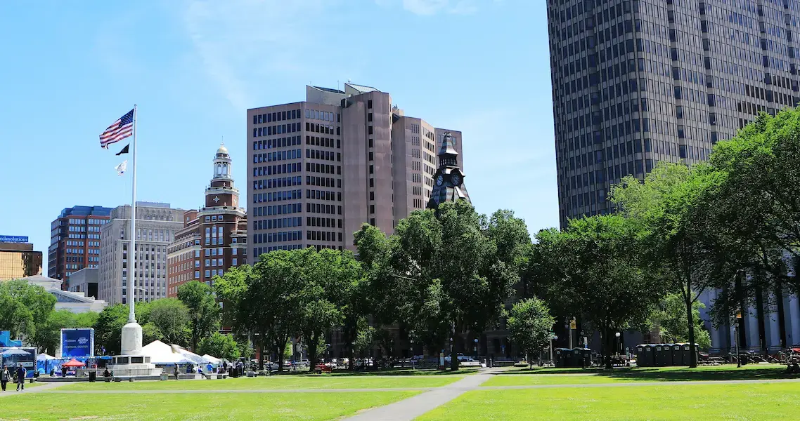
New Haven, Connecticut: home of Yale University and New Haven–style pizza (known locally as apizza). New Haven is the third most populated city in the state and has a strong culture of art and history.
.webp?width=400&height=327&name=Sallys_apizza_half_tomato_half_with_cheese_(72126).webp) New Haven–style pizza. (Image credit: Rhododendrites)
New Haven–style pizza. (Image credit: Rhododendrites)
Downtown New Haven, located in the city’s center, is just a stone’s throw from the neighborhood of Wooster Square. Historically, the city’s railroad and highway infrastructure divided these two neighborhoods (and three others in New Haven) from each other for decades.
Today, the Town Green District, a Special Services District (SSD) of Downtown New Haven, is strengthening the connection between these two areas through a pedestrian-friendly bridge at the intersection of Chapel Street and State Street.
 A map showing Downtown New Haven (left), Wooster Square (right), and the bridge at the intersection of Chapel and State. (Image credit: Atelier Cue)
The Challenge
The bridge at Chapel and State is the main connector between Downtown New Haven and Wooster Square. Town Green District’s idea was to beautify the bridge—with lights and murals from local artists—to create a more inviting environment, attract pedestrians, and promote interaction.
 Satellite image of the bridge and sidewalk on Chapel Street going above the railroad. (Image credit: Atelier Cue)
This meant they needed hard data on the users of the bridge. How else could they prove that the project was worthwhile, or that the bridge was getting more popular?
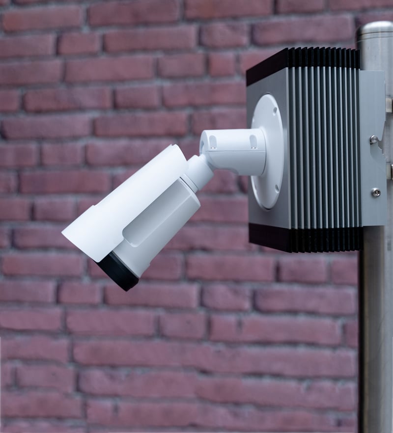
Cue the arrival of automated counters. Town Green District purchased two PYRO counters and installed them in 2021. Since then, they’ve been able to answer several questions for themselves and the city.
-
-
Are there enough people using the pedestrian sidewalks of the bridge to justify the project?
-
Will beautification increase pedestrian use of the bridge?
-
Will adding lights bring more visitors to the bridge?
-
The Solution
Where did they put the counters?
The Chapel Street Bridge is a vehicular bridge with four vehicle lanes (two per direction) and sidewalks on both sides. They placed two PYROs on either side, attached to metal railings. One counted people going north, and the other people going south.
What was their counting strategy?
Their counting strategy was simple and effective: count continuously, day and night, from the same location to gather long-term data.
 View of the bridge in 2019, before the beautification project. (Image credit: Atelier Cue)
The Results
Town Green District began their count program 5 years ago.
When they first started, their counters gave them a ground truth understanding of how many people used the bridge. Data revealed around 3000 passes a week, which made sense since the bridge was beside a commuter rail station. This proved that the bridge was a busy pedestrian corridor worthy of a placemaking project.
 The New Haven State Street commuter rail station. (Image credit: Pi.1415926535)
The counters also gave Town Green District a way to track numbers before and after their placemaking efforts. Flower planters were installed on the bridge in 2021, and a mural was painted in 2024. Comparing full year count data, 2024 had almost 30% more counts than 2022 (on the more popular pedestrian sidewalk).
 A mural being painted on the bridge. (Image credit: Town Green District)
More recently, Town Green District used their count data to win $40,000 from the Ikea Foundation to install lighting on the bridge. Interestingly, their count data showed one sidewalk was much more popular than the other. The only difference? One side had lighting at the end of the bridge, while the other had nothing. This helped show that lighting was influencing how people crossed the bridge, and that lighting fixtures were needed.
Town Green District is currently working on the Bridge Lighting and illumination phase of their project.
What You Can Learn
 The bridge with a new mural and planters. (Image credit: Town Green District)
"Eco Counters were imperative in gathering data about pedestrian usage, time of day the corridor was most used (supporting the need for lighting), which side of the street is most used (addressing any safety reasons one side may be used over the other), and to track the usage over time, in conjunction with placemaking efforts.”— Tara von Schmidt, Special Projects Manager, Town Green District
When it comes to improving and managing a city’s downtown, count data is an energizing spark. With just one or two counters, you can collect the information you need to win grants, plan new infrastructure, and make strategic decisions. In Newhaven’s case, they looked at the popularity of their bridge and how their counts increased over time. In the future, their counts will let them compare the before and after of their beautification project and attach quantifiable results to their work.
Next Steps
If you'd like to complete a project like this, contact us to see how automated counters can support your community's downtown.
The bridge is just one part of Town Green District's Intersection to Connection project, which you can read more about here.