Background
The Prairie Sunset Trail is a 15-mile trail in southern Kansas spanning from Goddard to southwest Wichita. It first opened in 2007 and is managed by a dedicated group called Prairie Travelers Inc., a volunteer non-profit. Just a few miles east, the Redbud Trail starts in downtown Wichita and will soon stretch 20 miles all the way to downtown Augusta. The Redbud Trail was why Prairie Travelers originally formed, but since 2013 it's been in the hands of their sister organization, the AARTI – Andover Augusta Rail Trail Initiative.
 A map of the Prairie Sunset Trail. See also: map of the Redbud Trail. (Image credit: Prairie Travelers Inc.)
The Challenge
For the people of Garden Plain, Goddard, Wichita, and Andover in southern Kansas, the Prairie Sunset Trail and the Redbud trail are essential for getting to school, work, stores, parks, and many other places.
“All these businesses are an easy walking distance from the trail. You can get a haircut, go to a restaurant, take your kids to a park, you name it.”
— Jim Whittit, Board of Directors, Prairie Travellers Inc.
People knew how important the trails were, but there was never a way to prove it.
There also wasn’t a way to track the total number of people using their trails — a key figure to present when applying for grants. Luckily, all of this changed when Prairie Travelers Inc. got trail counters in late 2023.
The Solution
How did Prairie Travelers get funding for trail counters?
Prairie Travelers received a grant from the Sunflower Foundation in December 2023. They used these funds to buy two PYRO Evo Wooden Posts — one for the Prairie Sunset Trail and one for the newer Redbud Trail managed by their partners at the Andover Augusta Rail Trail Initiative (AARTI). They also had enough to buy four Wooden Post housing units with removable inserts.
Where did they put the counters?
Prairie Travelers and the AARTI used the same strategy to find out how many people were using their trails. Each organization chose three locations on their respective trails. On the Prairie Sunset Trail, they installed Wooden Posts a few miles apart near the three cities the trail served: Garden Plain, Goddard, and Wichita. On the Redbud trail, they did the same starting at a trailhead in Andover’s city center.
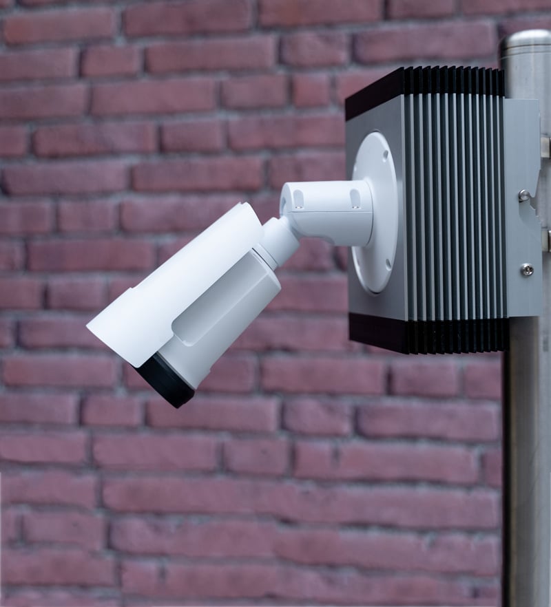
 A PYRO Evo Wooden Post on the Redbud Trail.
What was their counting strategy?
For both trails, only one site would be actively counting at a time. Every 4-6 months, a volunteer would come and switch the PYRO counter to a different Wooden Post, filling the empty one with a dummy insert.
The strategy of this was to count people on different sections of both trails. In general, people don’t tend to finish either trail in one go. Instead, they might walk 5 miles then turn around or exit. So, switching the counting sites was a great way to include more people in the data.
The Results
On the Redbud trail, AARTI used count data to seal the deal on an extension to the adjacent town of Augusta, Kansas. After 15 years of back and forth with Butler County and Augusta City Council, the hard data from counters helped get two bridges approved: a pedestrian/bike bridge over the US 54/100 (phase 1) and a pedestrian bridge over the Whitewater River (phase 2).
Grants for the second bridge were awarded to the City of Augusta thanks to federal and state funds, totaling over $5 million.
The Point Nine Facebook page.
Also on the Redbud Trail, a local businesswoman decided to open a new restaurant after seeing how popular the trail was from AARTI’s count data. Point Nine restaurant is close to the trailhead in Andover and is now open as of June 2025.
“A lot of people who opposed the trail at first are diehard supporters now.”
— Jim Whittit, Board of Directors, Prairie Travelers Inc.
 Image from the Prairie Sunset Trail ribbon cutting ceremony, 2007. (Image credit: Prairie Travelers Inc.)
On the Prairie Sunset Trail, Prairie Travelers Inc. are also using their count data to expand their trail. They are currently working on a project to extend the trail to the town of Cheney, Kansas, 8 miles west of Garden Plain. Sharing the count data with Garden Plain and Cheney will likely be a great driver for getting the extension approved.
What You Can Learn
“My vision is that with trails we connect neighbors and communities to promote healthy, active lifestyles and provide critical habitat for wildlife and more importantly in this hectic world, allow nature to touch and restore us.”— Ruth Holliday, Board Member, Andover Augusta Rail Trail Initiative
No matter the size of your trail, one thing is sure—count data is key. With it, you can unlock funding, justify the need for expansion, and even instill confidence in local businesses. Plus, you don’t need a huge fleet of counters to gather impactful data. With just one counter and three sites per trail, the Prairie Sunset and Redbud trails were able to strategically gather data and turn it into actionable results in under two years of counting.
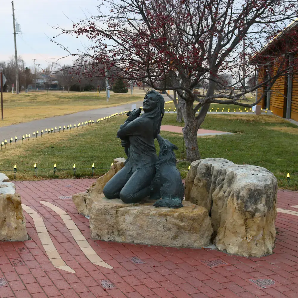
 Memorial Brick Park in Goddard, Kansas. Statue built it in memory of Cecile Kellenbarger, treasurer and early mover and shaker for Prairie Travelers Inc. (Image credit: Prairie Travelers Inc.)
Next Steps
Want to justify expanding your trails? Contact us to see how automated counters can help you get there.
Special thanks to Ruth and Jim for sharing their stories.